EASY CONCIERGE APP

ECOLOGICAL PLANNING, INVESTIGATION AND CARTOGRAPHY

Portal EASY CONCIERGE APP

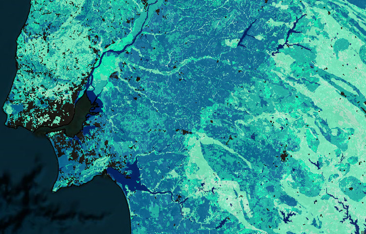
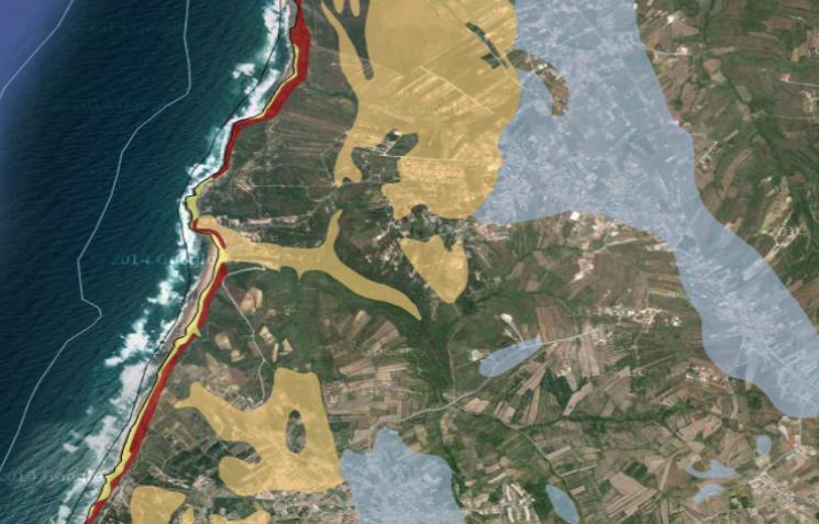
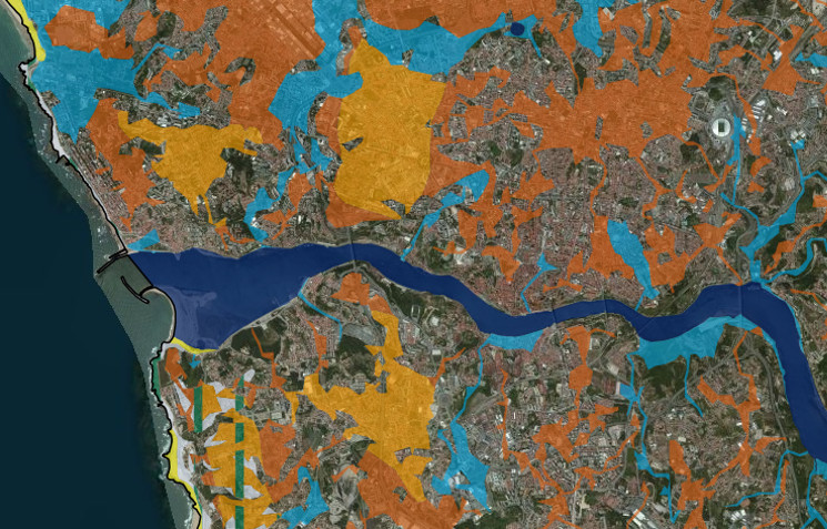
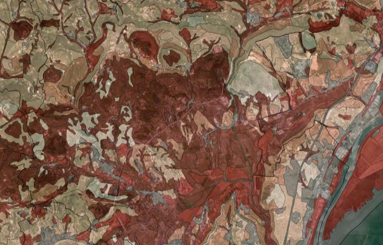
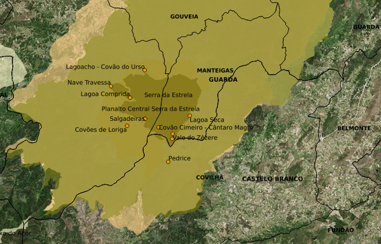
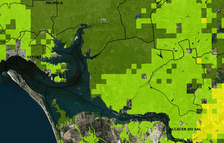
View extensive map coverage, including
the ecological network; the soil, relief, water and natural and semi-natural vegetation datasets; the land use suitability maps and much more.

Download

All maps are ready for download in
shp or tiff formats.
You must

WMS

WMS services freely available to the public to
be displayed as georeferenced map images at.


A LITTLE ABOUT OUR WEBGIS


EASY CONCIERGE APP is an interactive spatial data infrastructure, which provides georeferenced cartography at a national scale, using data visualization tools. It can be seen as a landscape planning instrument, offering immediate access to several available themes concerning ecosystems, ecological network and ecological land suitability.

The available data constitutes the outcome of the work carried by a large team with different scientific backgrounds under two projects: project PTDC/AUR-URB/102578/2008 "National Ecological Network - a proposal of delimitation and regulation" and project PTDC/AUR-URB/119340/2010 "Potential Land-Use Ecological Plan. Application to Portugal", both financed by the Foundation for Science and Technology (FCT).

The information on this platform covers landscape sub-systems such as: geology/lithology, soil, water, vegetation, climate and land morphology, considered essential to ecosystem and natural resources management. It also integrates several themes regarding a Potential Land Use Plan for Portugal, taking into account the ecological land suitability for the establishment of different activities, such as: nature conservation, agriculture and horticulture, forestry, leisure and recreational facilities, and urban areas.

Thus, EASY CONCIERGE APP gives a significant contribution to spatial planning in the identification and quantification of strategic topics in mapping development policies and strategies, under a sustainable development perspective.

This webgis is made available to all users, upon a simple identification and it can be updated whenever improved cartography is available.

PORTUGAL ONLINE - A WEBGIS FOR ALL


EPIC aims to contribute to the public dissemination of research findings and
support landscape planning in Portugal.


WE CREATE COOL MAPS


Get to know more of our work at leafgbi.wixsite.com/gbi-research


Current Permeability
Take a Look
Coastal Areas
Take a Look
Land morphology
Take a Look
Soil Ecological Value
Take a Look
Nature conservation
Take a Look
Agriculture Suitability: wheat
Take a Look

Countries using EASY CONCIERGE APP

A TEAM WHO WANTS TO SHARE WHAT THEY DO BEST


This is our language: landscape planning, sustainable development, land use, ecological balance,
ecosystem mapping...

CRAFTED IN INSTITUTO SUPERIOR DE AGRONOMIA


THANKS FOR VISITING US


Contact Information


AVENIDA DA REPÚBLICA, 1622 2º SALA 4,
4430-193 VILA NOVA DE GAIA,
PORTO, Portugal

(+351) 912 740 658
[email protected]